|
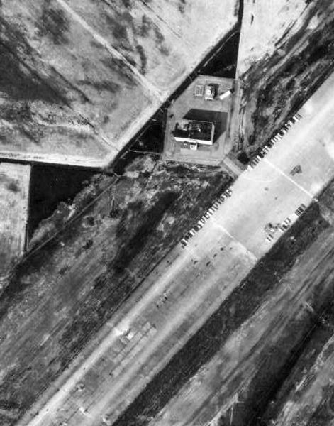
September 13, 1957: This photo, taken
from an altitude of 16,940 feet, also shows the adjacent camp area in the
upper left corner. The Operations Building is circled in red. Although
some antenna masts can been seen within the boundary of the runway triangle,
there is insufficient detail to determine the antenna types in use. North
is at the top of the photo. (NAPL photo A15948-105)
|
 |
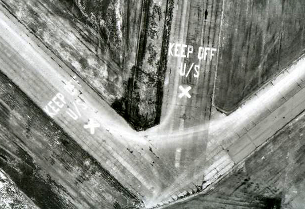
April 1, 1965: This is the north-east runway juncture. The Operations building can just be seen at the lower left corner. Directly north of the building, is a nine antenna rhombic array. An attempt was made to render the array but there are only enough masts visible to show two antennas. North is at the top of the photo. (NAPL photo VRR2633-378) |