 |
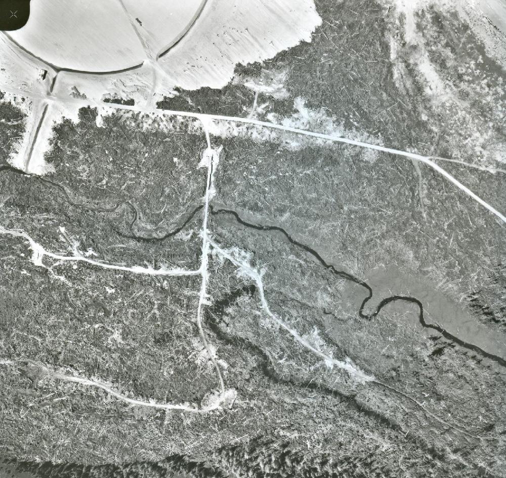
August 1968: This was the first attempt at locating the antenna field of the Old Site since it was thought to be located in this area. North is at the top of the photo. No wire antennas here. Instead, some other details surface. In the upper left corner is the CDAA under construction. There is quite a quantity of felled timber on the ground in the pattern of an arc. This arc starts near the left bottom of the photo and continues towards the upper right side and is really evident in a satellite image. The exact reason for a circle (like a guard band) of cleared timber around the CDAA perimeter is not known at this time. Note how the winds from the north west cause the sand in the CDAA clearing to "streak". Click on image to enlarge (NAPL photo A207724-45) |