 |
 |
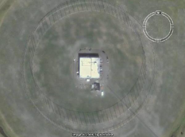 |
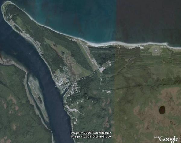
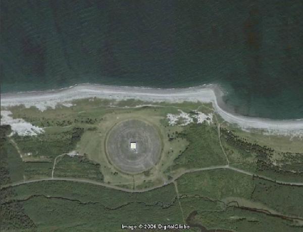
| Above: Three successive images of CFS Masset focusing on the AN/FRD-10 antenna. (Images courtesy Google Earth) |
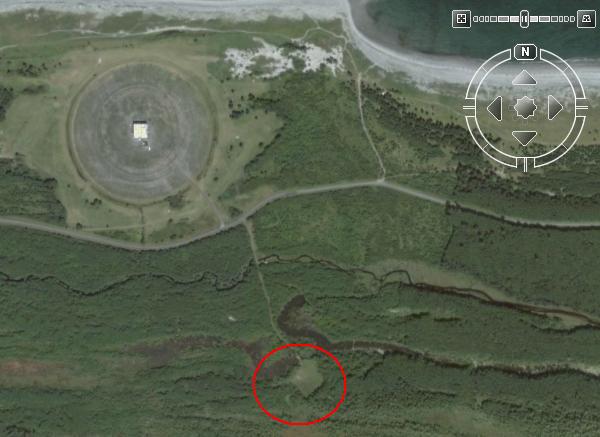 |
| South of the AN/FRD-10 antenna is a clearing for a Beverage receive antenna which operates in the lower part of the HF band, maybe no higher than 5-6 MHz. Gander's AN/FRD-10 antenna also has the same setup. (Image courtesy Google Earth) |
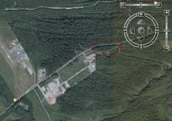 |
| This is all that remains of Old Site, which was located near the southern portion of the Masset Airport runway. Located here, was the Operations Building, men's quarters, four PMQ's, Men's Mess, water tower and a tennis court. The main road here is Tow Hill Road. (Image courtesy Google Earth) |
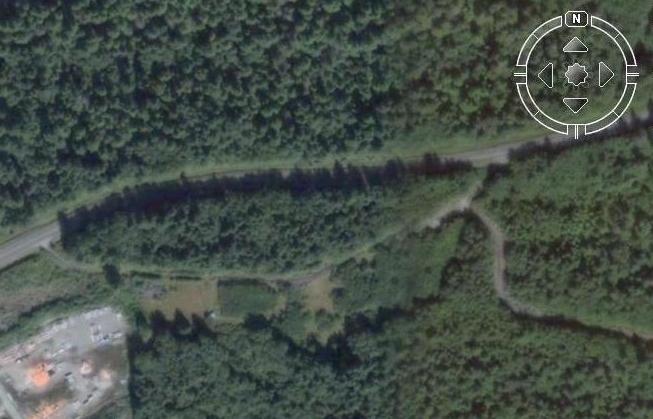 |
| There are no remains of Old Site visible in this view. (Image courtesy Google Earth) |
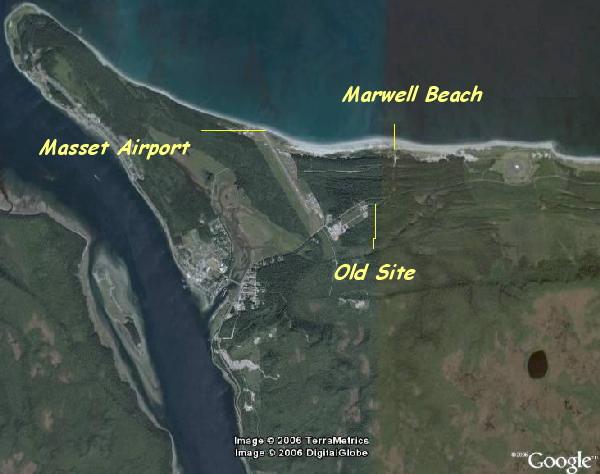 |
| This image illustrates the position of the steel mat runway at Marwell Beach compared to the relatively modern Masset airport built in the late 1990's. (Image courtesy Google Earth) |
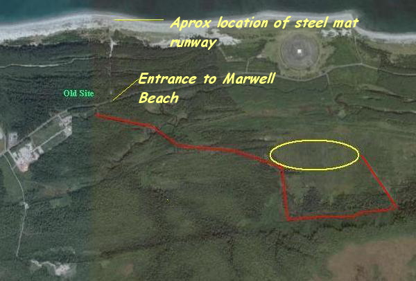 |
| Leading away from Old Site is a road marked in red. Is the area marked with a yellow oval the location for the Old Site antennas? If so, what type of antennas were there? Contact: jerry.proc@sympatico.ca (Image courtesy Google Earth) |